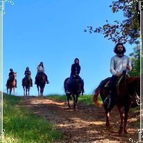
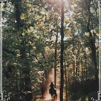
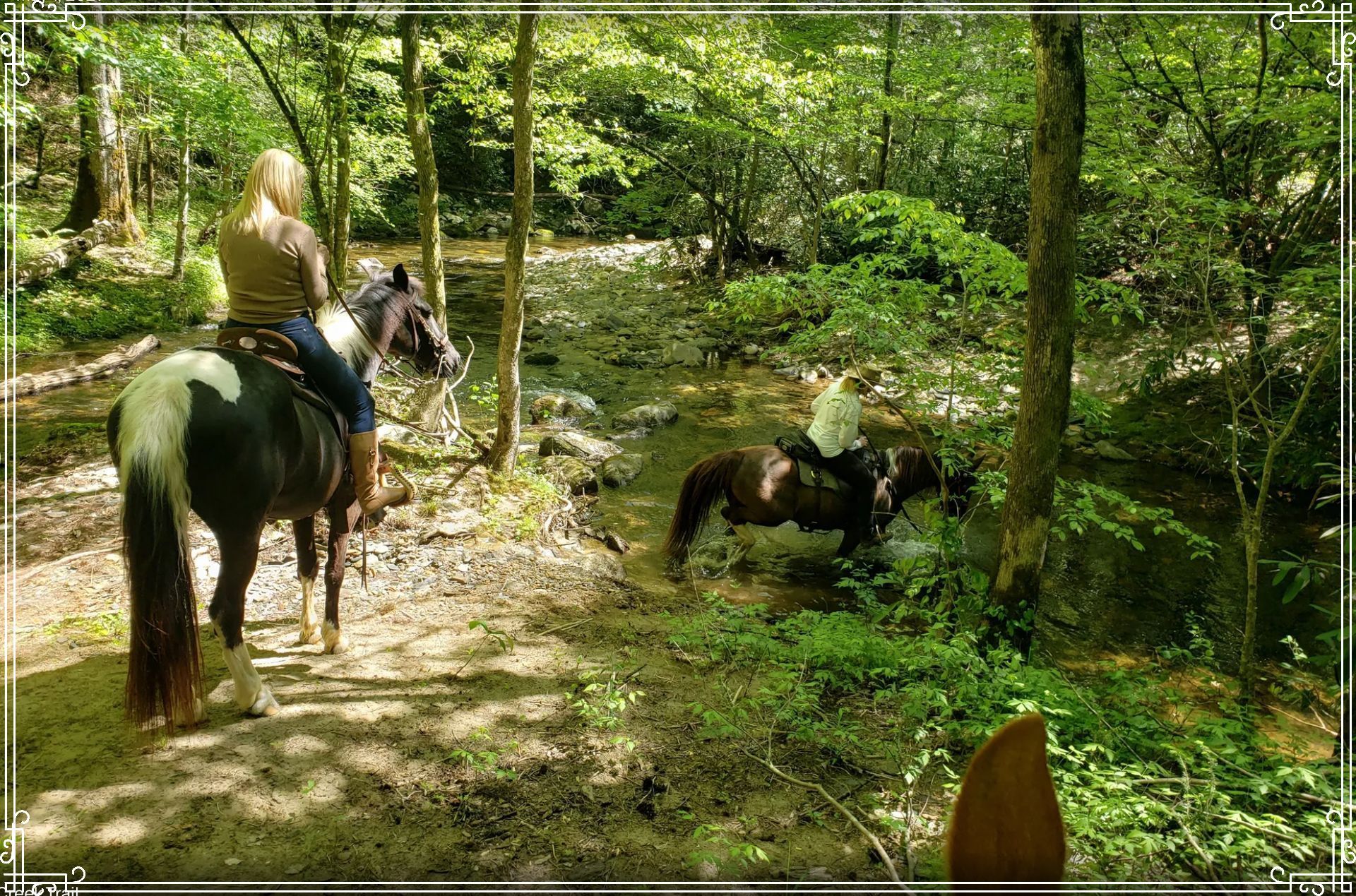
Full day ride in the National Forest ($190 a person)
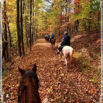
Ocoee HorseRide can now offer full day rides both in the Cherokee & Chattahoochee National Forest. Experience the finest landscapes in Georgia and Tennessee through the greatest outdoor recreation activity! Cross rivers, climb mountains and explore nature.
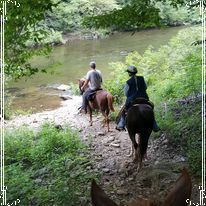
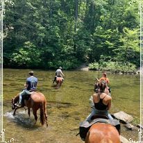
"The River Ride"
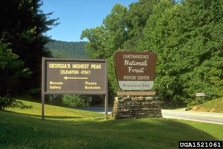
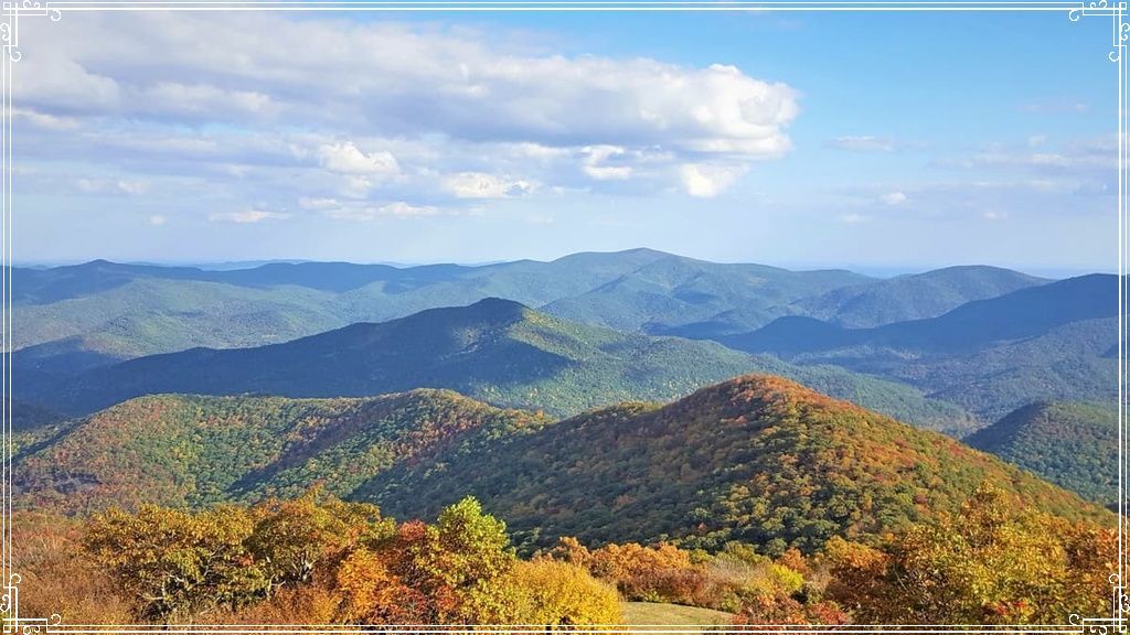
Chattahoochee National Forest
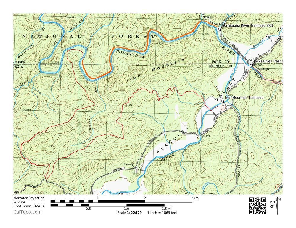
Iron Mountain Trail
Iron Mountain Trail begins at Cottonwood Patch equestrian campground in the Chattahoochee National Forest just outside the designated border of the Cohutta Wilderness near the Tennessee border.
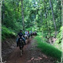
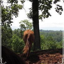
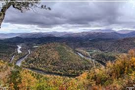
The trail winds a northwesterly direction gradually climbing Iron Mountain reaching highest elevation at 1,506. This is were we take a brake and eat our lunch.
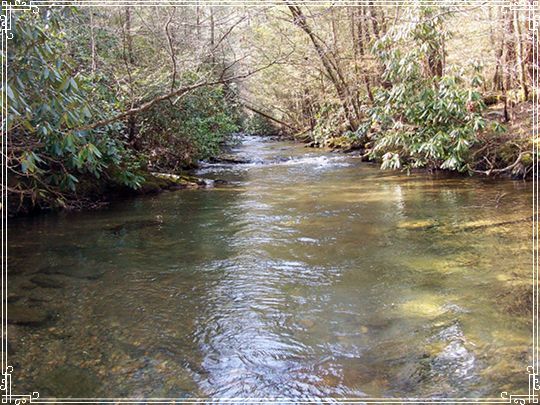
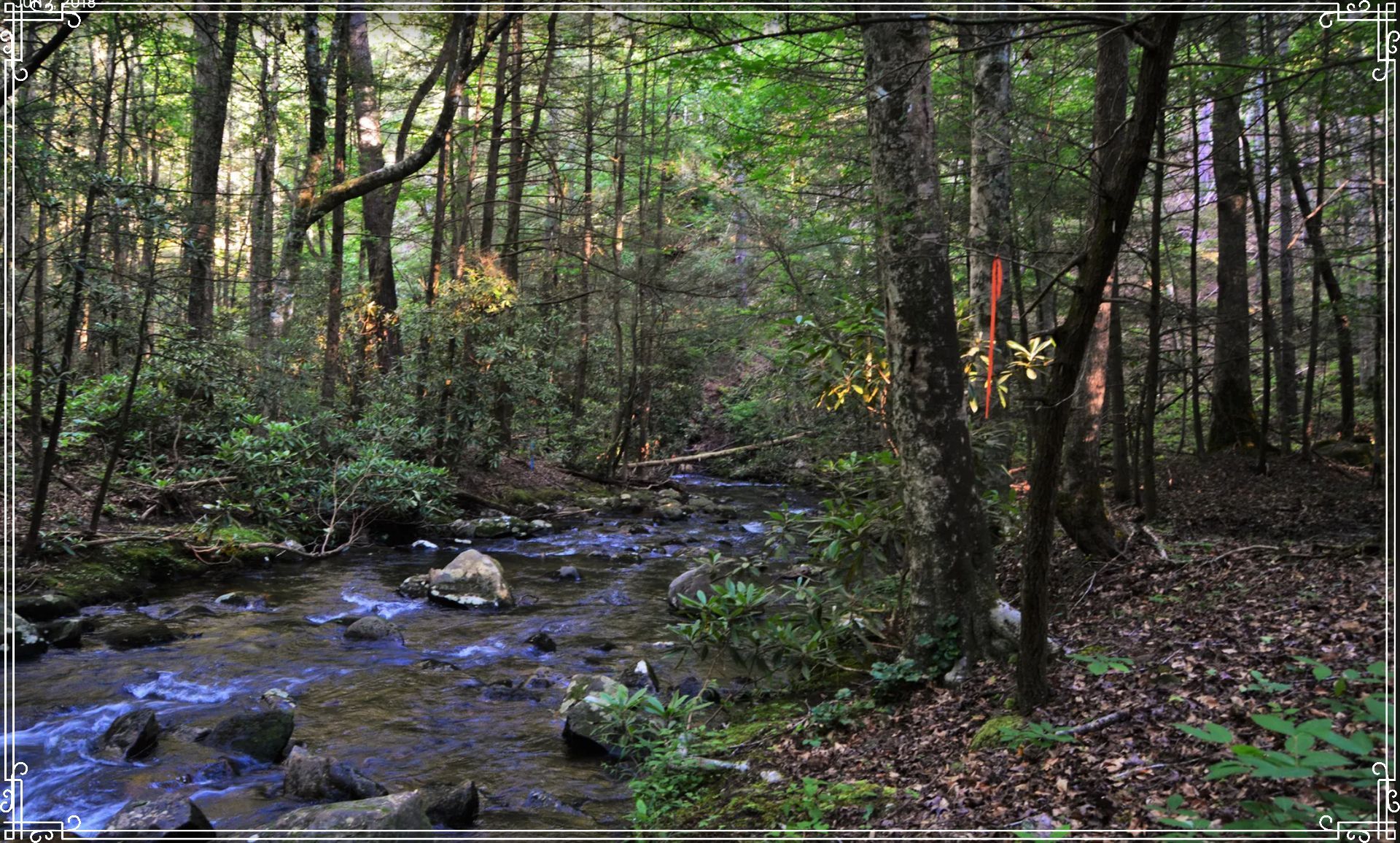
From the overlook, the trail begins its 1.3 mile downhill run to the Conasauga River in Tennessee.. The river is wide here due to its merger with the Jacks River further upstream.
The Conasauga River Trail #61 from here takes more than an hour to ride upstream with the Conasauga River on it`s right which is wider here than any section in the Cohutta Wilderness due to its convergence with the Jacks River.
We will finish the Iron Mountain loop by crossing Jacks River before the trail takes us back to Cottonwood Patch Campground.
"The Mountain Ride"
Cherokee National Forest
104 Chestnut Mountain Trail &
105 Coffee Branch Trail
Gee Creek Loop Trail
The Gee Creek to Iron Gap Loop via Chestnut Mountain Trail and Coffee Branch horse trail is a 12.8 mile Out & back trail that wanders through the Gee Creek Wilderness.
The trail heads up the west flank of the
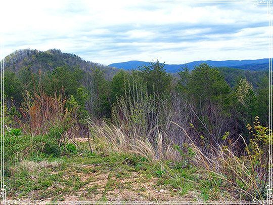
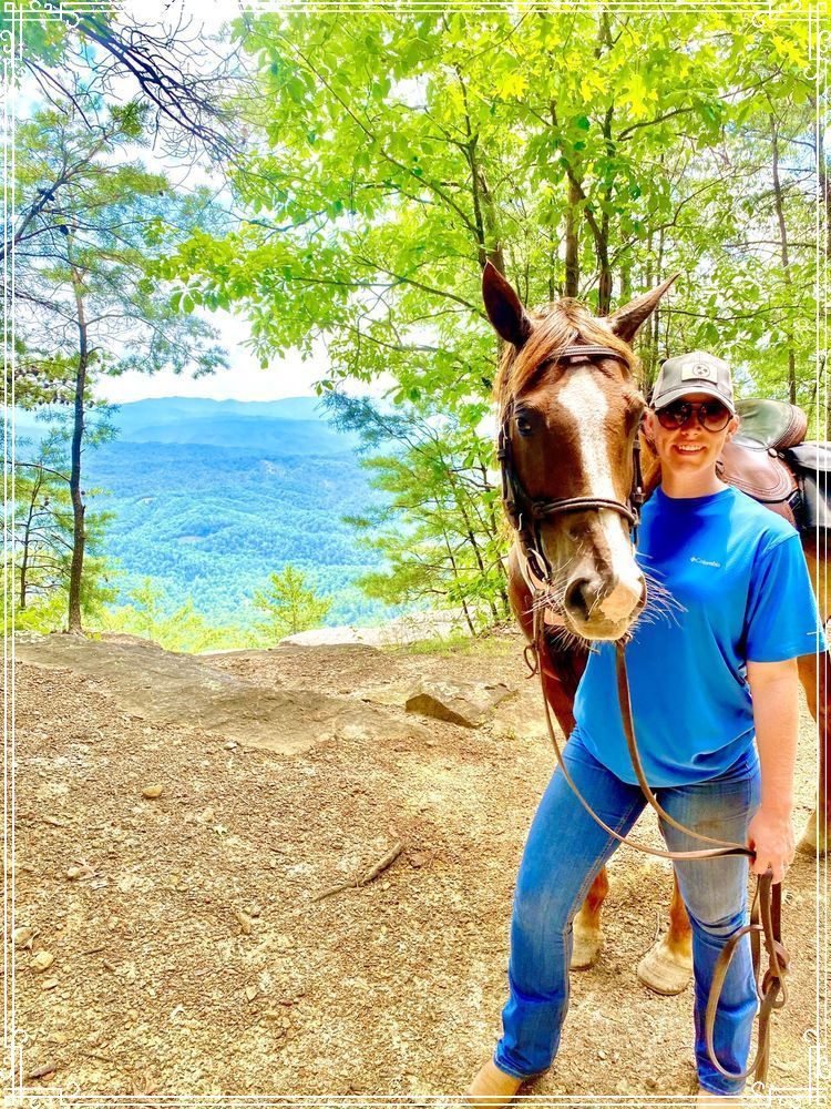
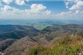
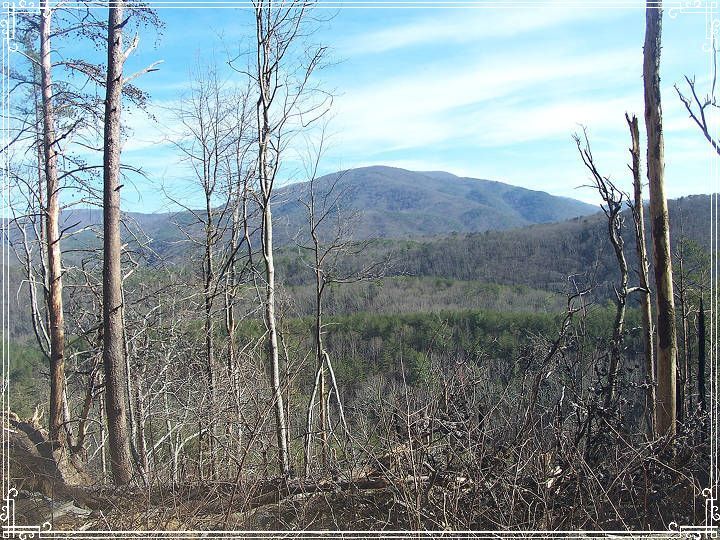
mountain, first through a series of switchbacks but steadily uphill. Along this segment of the Chestnut Mountain Trail there are grand views into the Gee Creek Wilderness and the southeast flank of Starr Mountain on the other side
of the Gee Creek watershed. We will reach the highest point on Chestnut Mountain at 2560 feet.
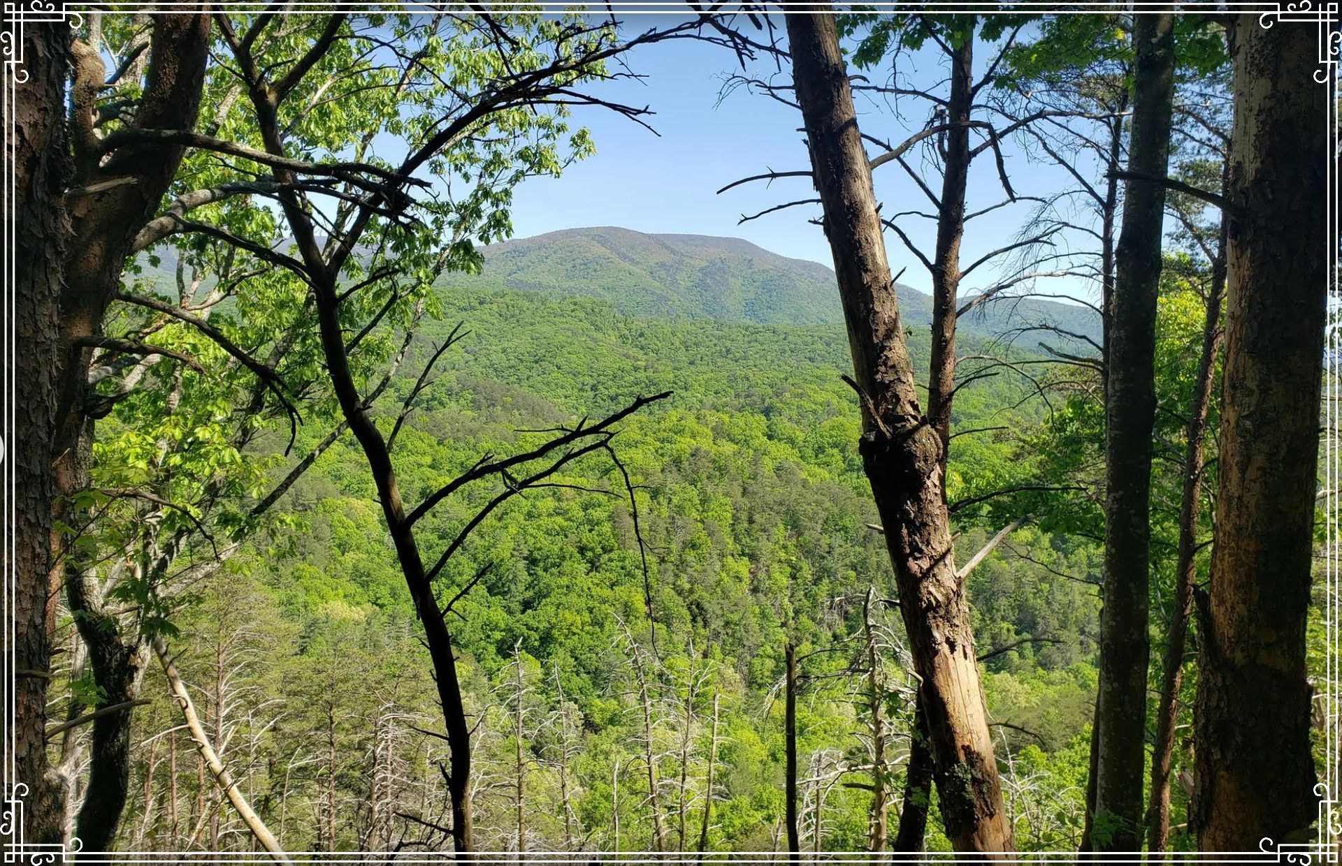
The trail continues on the eastern flank of the
mountain. In many places there are great views into the Hiwassee River and Spring Creek watersheds and in the distance you will see the mountains in the Big Frog and the Little Frog Wilderness areas. We will eat our lunch at a
rocky outcrop with great views. From that point on the trail travels fairly level, staying at about the 2000 foot elevation., then gently downhill back to the parking lot.
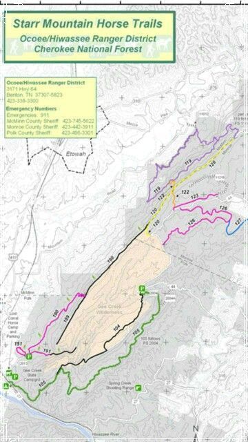
The Gee Creek trail loop you will find on this map as #104 Chestnut Mountain Trail (black line on the map) and #105 Coffee Branch horse trail (green line on the map)
"The Creek Ride"
Chattahoochee National Forest
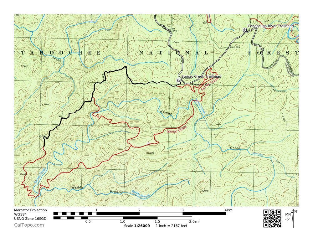
Sumac Creek Trail
Sumac Creek Trail is a 10.8-mile loop trail in the Chattahoochee National Forest located approximately 1.7 miles from the northwestern trailhead of the Conasauga River Trail in the Cohutta Wilderness.
The trail has a lot to offer with it traversing two parallel ridges and crossing Sumac Creek a couple of times. The trail changes elevation at its western end descending into the valley where Sumac Creek resides. After crossing the creek it climbs in elevation immediately to the opposite ridge.
*Click The Pic Below To Find Out More Info From
https://www.fs.usda.gov/conf